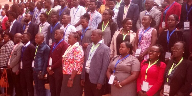
Participants at the 10Th Utilities Geographical Information System (GIS) Conference held at Kampala Hotel Africana on Thursday have been called upon to utilize the scientific tool for energy location and sustainability. The call was made by various speakers drawn from the Academia, National Water, the Private Sector, the World Bank and Non -Governmental Organizations among others.
Ms. Cecilia Menya, the Commissioner for Electrical Power Department in the Ministry of Energy and Mineral Development, while speaking on behalf of the Minister of State for Energy, Hon. Sidronius Okaasai Opolot, said GIS technology is 12 years old and has evolved globally over the years. She said apart from locating mineral sites, GIS technology is important for demographic changes when it comes to energy provision.
“GIS technology is on demand in all sectors because it can be used to identify rural areas in dire need of electricity for household economic development,” she said.
She added that GIS technology is currently being applied to identify and monitor Parish Development Model (PDM) projects countrywide, because PDM is a critical instrument for providing energy development and entrepreneurship at community level.
“GIS also provides tools for social and environmental impact assessment because clean and renewable energy is important to reduce carbon emissions,” he added.
Richard Muhangi, the Head of GIS technology in the Ministry of Energy and Mineral Development, said GIS tools can be used for scientific investigations, resource management, and development planning.
“We use GIS technology to locate where to put energy utilities such as; oil pipelines, electricity poles and transformers plus mineral sites countrywide,”he told journalists during the conference.
He added that; GIS enables technocrats in the energy sector to tell if there are Swamps, wetlands or National Parks before installing energy utility services like electric poles, transformers or oil pipelines.
“Many retail businesses can also use GIS to help them determine where to locate a new store. Marketing companies use GIS to decide to whom to market stores and restaurants, and where that marketing should be,”he added.
Edwina Ahamize, the Chairperson Energy Group, said GIS technology can also be used in ascertaining the rightful people to be compensated on land, where energy utilities such as oil pipelines or electricity power lines are installed. She said the Energy Group has membership from the Electricity Regulatory Authority (ERA) and UMEME, adding that they are also in partnership with the German Agency for International Cooperation (GIZ).
Do you have a story in your community or an opinion to share with us: Email us at editorial@watchdoguganda.com


