The two porters carrying luggage almost double their weight, placed bets on how far we would go in our bid to try and hike the Rwenzori Mountains last weekend.
Also known as Mountains of the Moon, the Rwenzoris are located on the border between Uganda and DR Congo.
The mountain ranges are home to the Rwenzori Mountains National Park in Uganda and Virunga National Park in the DR Congo as well as Mt Stanley, which at 5,109m, is the highest mountain in Uganda and third highest in Africa, after Kilimanjaro and Mount Kenya.
One of the porters, a pretty girl in her early 20s, told her colleague that ‘we looked like the type that would not hike for more than two hours since we spent most of our time in spacious Kampala offices.’
Her colleague, a stout male wearing oversized gumboots, agreed, but said some of us would make it apart from ‘the other woman with a kofila.’
“She is even panting before we reach the (Uganda Wildlife Authority) rangers’ post,” he said in the local Lukonzo dialect.
The UWA rangers’ post in Mulyambuli, Kyambogho village, Kasese district lies at about 1,727 meters above sea level.
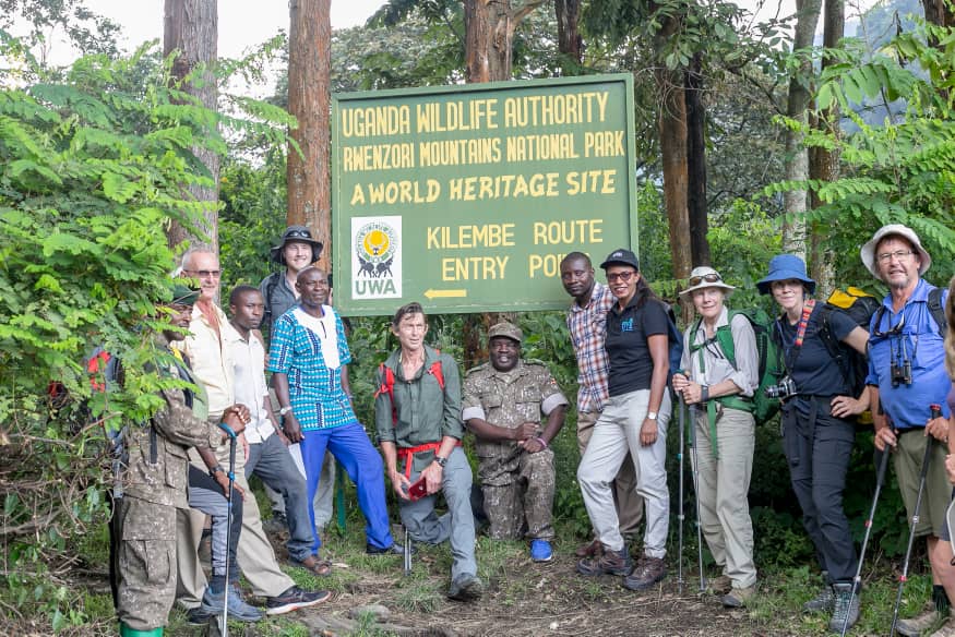
Opened in 2007, the post is the first contact with the Rwenzori Mountains National Park – now a World Heritage Site – when you decide to use the Kilembe trail that’s managed by Rwenzori Trekking Services (RTS) (http://www.rwenzoritrekking.com)
One would have to walk for about 30 minutes through a community trail past cassava and coffee gardens to get to the post, where registration forms are signed.
Earlier, during a brief before we embarked on probably the most tiresome undertaking which lasted between three and nine hours (depending on the speed of the hiker), a guide had intimated that standby emergency services had been organized for our team.
“This is the first time we are getting hikers that somehow have no hiking experience whatsoever,” the guide said, adding that the feat was achievable but we should not push ourselves if our bodies failed.
He was right.
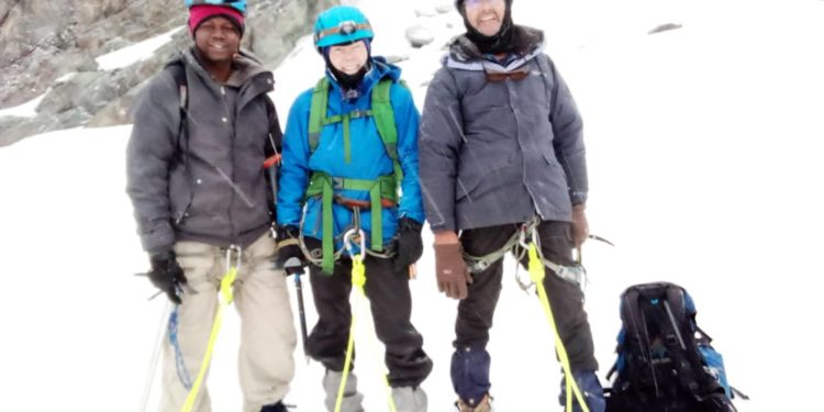
In our midst was Tim Macartney-Snape, twice conqueror of Mt. Everest and several other peaks across the world. In fact, in 1990, the 63-year-old became the first person to walk and climb from sea level to the top of Mount Everest.
He was in the country to conquer the Margherita Peak within seven days.
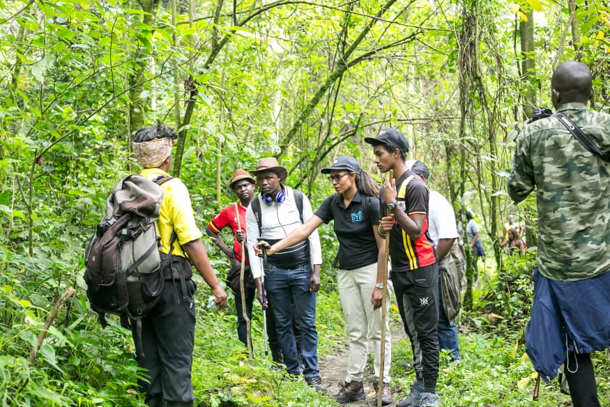
“This is not a race. Do not make it a competition. Hike at your pace. The Rwenzori ranges comprise of many climbs and descents making it harder to climb with each level but the scenery is unlike any other. Feel free to say you are tired when you are, and we shall lead you back to the camp,” the guide added.
The Trek
According to John Hunwick, the Director RTS, before 2010 there was no tourist trail, accommodation or any sort of infrastructure throughout Kilembe.
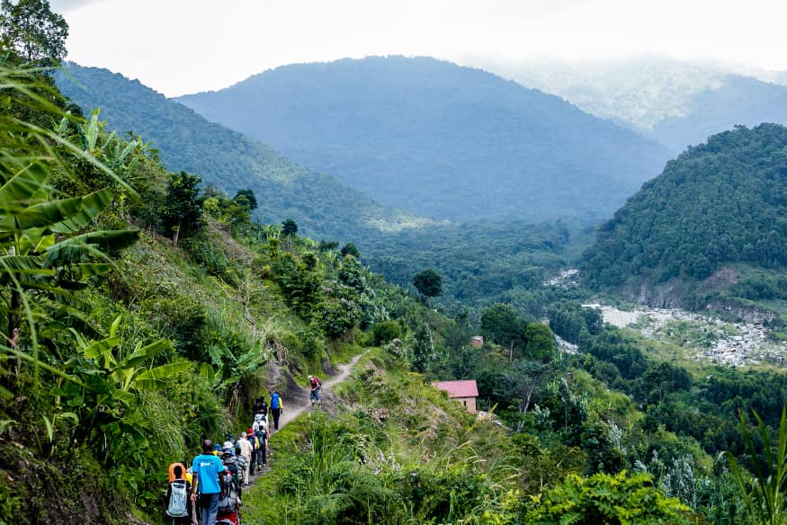
However, with passion, determination and support of the local communities around the park, a route has since been developed to offer one an opportunity to see nature at its best.
“For those willing to hike until the top, you will be treated to various plant species – heavy tropical rainforest, bamboo forests, montane cloud forests to alpine vegetation. At above 4,500m, the snow and glaciers add that special dimension to the wondrous views throughout the pristine mountain ranges,” a statement on RTS website reads in part.
Also, on offer are several packages ranging from one-day treks to the nine-day trips. The nine-day trek will lead you to the Margherita Peak at 5,109 metres above sea level as well as any other two (of five) peaks on the way back.
Some hikers opt for the 10-day experience to four peaks of Margherita, Mt. Speke, Mt. Baker plus Weismanns.
“The eight-day trip can be done in seven days. However, in most cases, there is always that one person who will slow down the group, hence the extra day,” Kasine, another RTS guide said as we started our ascend.
This particular hike can also be booked via https://www.rwenzorimountaineeringservice.com/safaris/8-days-rwenzori-central-circuit.html
Our group had opted for the two-day trip which started off on Sunday, December 29 at exactly 10.30am from the Trekkers Camp in Kilembe.
Only Daily Monitor journalist Franklin Ezaruku decided to embark on the journey to the top. We had spent Saturday night at this moderate camp run by Hunwick and RTS. An hour or so later, we arrived at the Mulyambuli UWA Rangers’ post.
We were told it would take us roughly four hours to the Sine Camp, our first resting spot, about 2,585 metres above sea level.
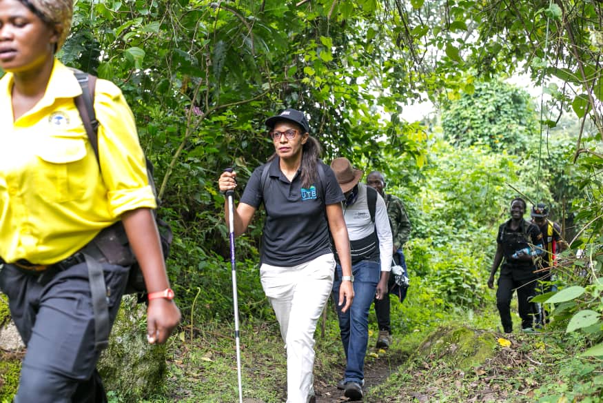
We joked with our guide, as we attacked the forest with gusto, that the trails had been recreated because the Uganda Tourism Board CEO, Lilly Ajarova was part of the team.
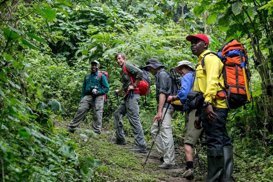
The banter soon became almost inaudible sounds delivered through deep breaths as the team of 17 soon disintegrated into smaller groups of four, three and even one, depending on personal abilities.
The guides, who kept by everybody’s side throughout the nature walk, were quick to remind us that the Rwenzoris are not big on animals although the park hosts about 70 mammal species.
These include rarely-seen elephants, the giant forest hog, the Rwenzori Otter, Duikers, Bushbucks and the Rwenzori Leopard.
The Rwenzori Leopard is endemic to the Rwenzoris.
“However, you will encounter blue monkeys, Angola colobus monkey, black-and-white colobus monkeys as well as chimpanzees, birds, butterflies and such,” Solomon Mbusa, a ranger with UWA said as we hit the rocky trail through a beautiful, yet-to-be named baby waterfalls.
Here, we were encouraged to drink some water seeing that our two-litre bottles had since become empty.
Earlier, we had all gathered for lunch – banana, apple, chicken, a rolex and juice.
With renewed energies from the meal, the banter resumed. But not for long, as some people again beat others for pace and skill, while others lagged and dragged other colleagues behind.
The first group of three arrived at the Sine Camp after four hours, while the last member of the group still talks about the longest seven hours of her life.
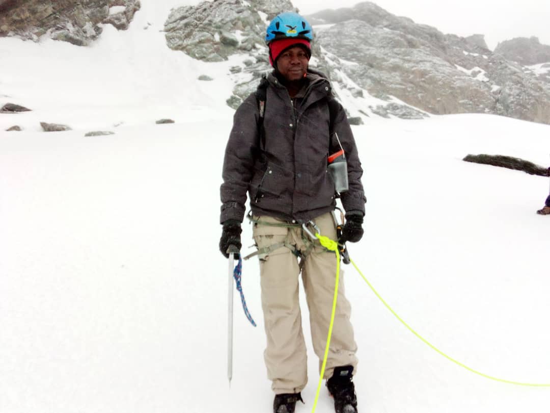
At Sine Camp, James Okware, the UWA senior warden at Rwenzori Mountains National Park, welcomed the team.
He also outlined reasons why the Rwenzoris were designated a World Heritage Site by Unesco, stating that the region’s glaciers, waterfalls and lakes make it one of Africa’s most beautiful alpine area.
We enjoyed a proper dinner of matoke, rice, Irish potatoes, pumpkin and whole goat all prepared by the guides (these guys do not tire!), shared our Day One experiences as the biting cold tore through the jackets we thought would keep us warm enough. At around midnight, we got into bed.
If you are hiking the Rwenzoris, I suggest you carry very warm clothes for the night(s).
The next day, part of the team decided to hike almost 1.8km to the Kalalama Camp which is estimated to lie at 3,147 metres above sea level. Here, hikers enjoy a great trek through the bamboo-mimulopsis zone, climbing steep, high steps.
Luckily, the weather was welcoming but in the wet season, the bamboo zone, we were told is rather muddy and slippery.
At the Kalalama Camp, hikers are treated to a quick cup of coffee or tea before heading to the next Mutinda Camp which lies at 3,582m.
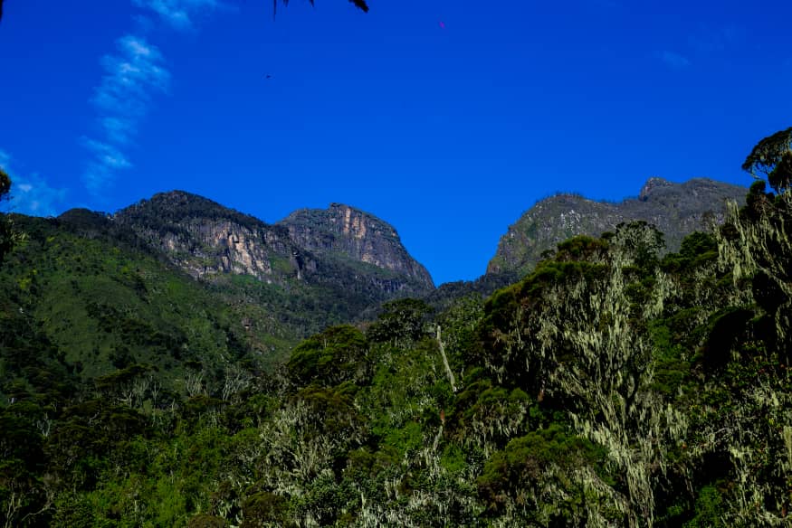
With sore feet and aching thigh muscles, the four-hour descent to the UWA rangers’ camp was more challenging; the overall experience extremely fulfilling. Franklin, who fell short of reaching the peak by 100 metres will testify.
Also, one of the porters is a surely a couple of shillings poorer.
Talking points
Besides RTS, there are two other trails – one managed by UWA and another by Rwenzori Mountaineering Services – that will lead one to the top of the Rwenzoris.
Rwenzori Mountaineering Services offers discounted booking for all treks including the Kilembe Trail that is managed by RTS and Central Circuit that is managed by local owned communities.
RMS, which can be reached via www.rwenzoriMountaineeringservice.com or info@rwenzorimountaineeringservice.com provides prospective climbers with a comprehensive guide that contains accurate and valuable information to increase one’s chance of a successful summit when climbing Mt. Rwenzori. Detailed itineraries, route maps, useful hyperlink, stunning pictures and photography of all the major routes can also be got by calling +256774819223.
Do you have a story in your community or an opinion to share with us: Email us at editorial@watchdoguganda.com


